A new tropical storm has formed in the Atlantic: Tropical Storm Dexter. As of 11:00 PM AST on Sunday, August 3, 2025, the system was officially named and is expected to remain over open waters. Here’s what you need to know.
[Click here or scroll down to see the most recent video]
Current Position and Movement

At the latest advisory by the National Hurricane Center (NHC):
- Location: 34.3°N, 69.4°W
- Distance: Approximately 300 miles (480 km) west-northwest of Bermuda
- Movement: East-northeast at 12 mph (19 km/h)
- Forecast Path: Expected to accelerate northeastward before slowing down midweek.
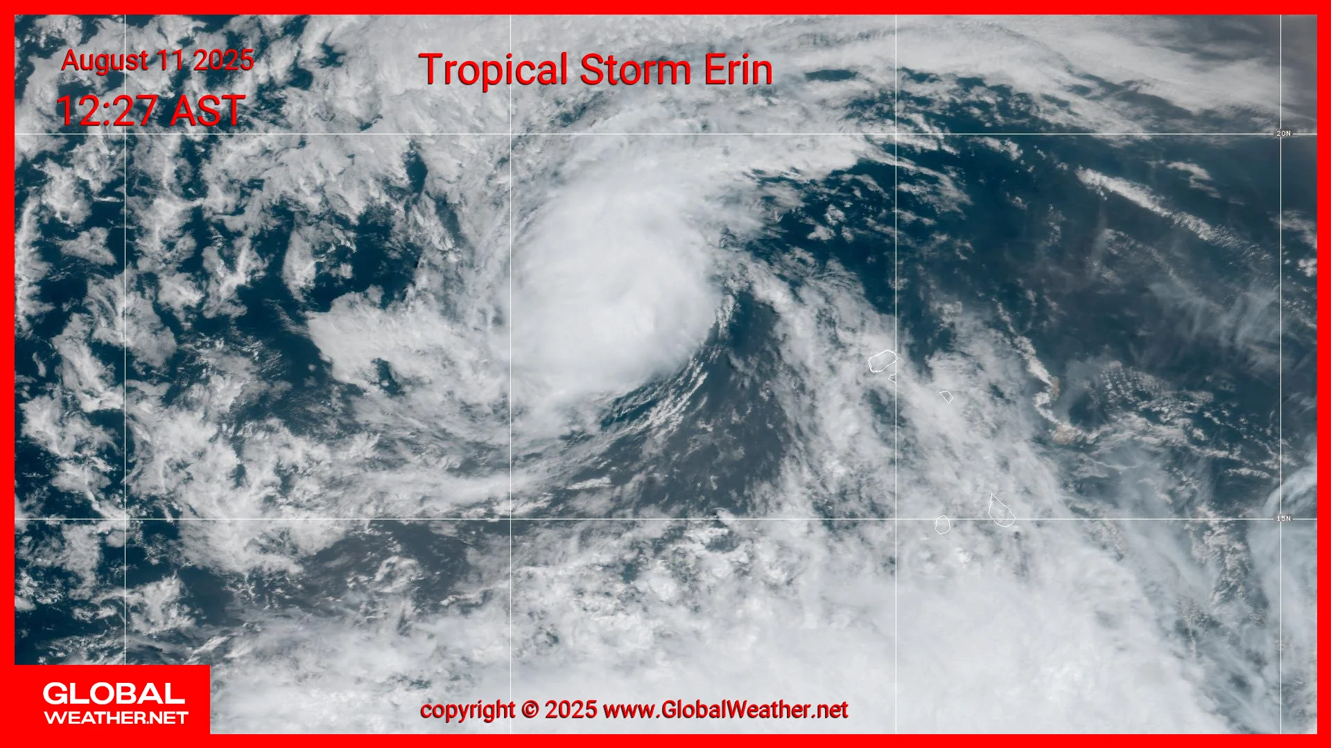
[Insert static satellite image of Dexter here]
Image credit: NOAA/NHC
🌬️ Intensity and Wind Field
- Maximum sustained winds: 45 mph (75 km/h)
- Wind gusts: Higher gusts possible
- Tropical-storm-force winds: Extend outward up to 140 miles (220 km) from the center
- Central pressure: 1002 mb (29.59 inches)
Although the storm may strengthen slightly in the short term, Dexter is expected to become post-tropical by Wednesday as it moves over cooler waters.
🌀 Development History
Dexter originated from a non-tropical low pressure system (formerly labeled AL95) that developed off the U.S. East Coast. Despite being attached to a frontal boundary early on, environmental conditions allowed it to gain tropical characteristics rapidly.
Over the last 48 hours, satellite data confirmed gale-force winds, prompting its upgrade to a tropical storm. This system had a 70% chance of tropical cyclone formation, as predicted in previous NHC outlooks.
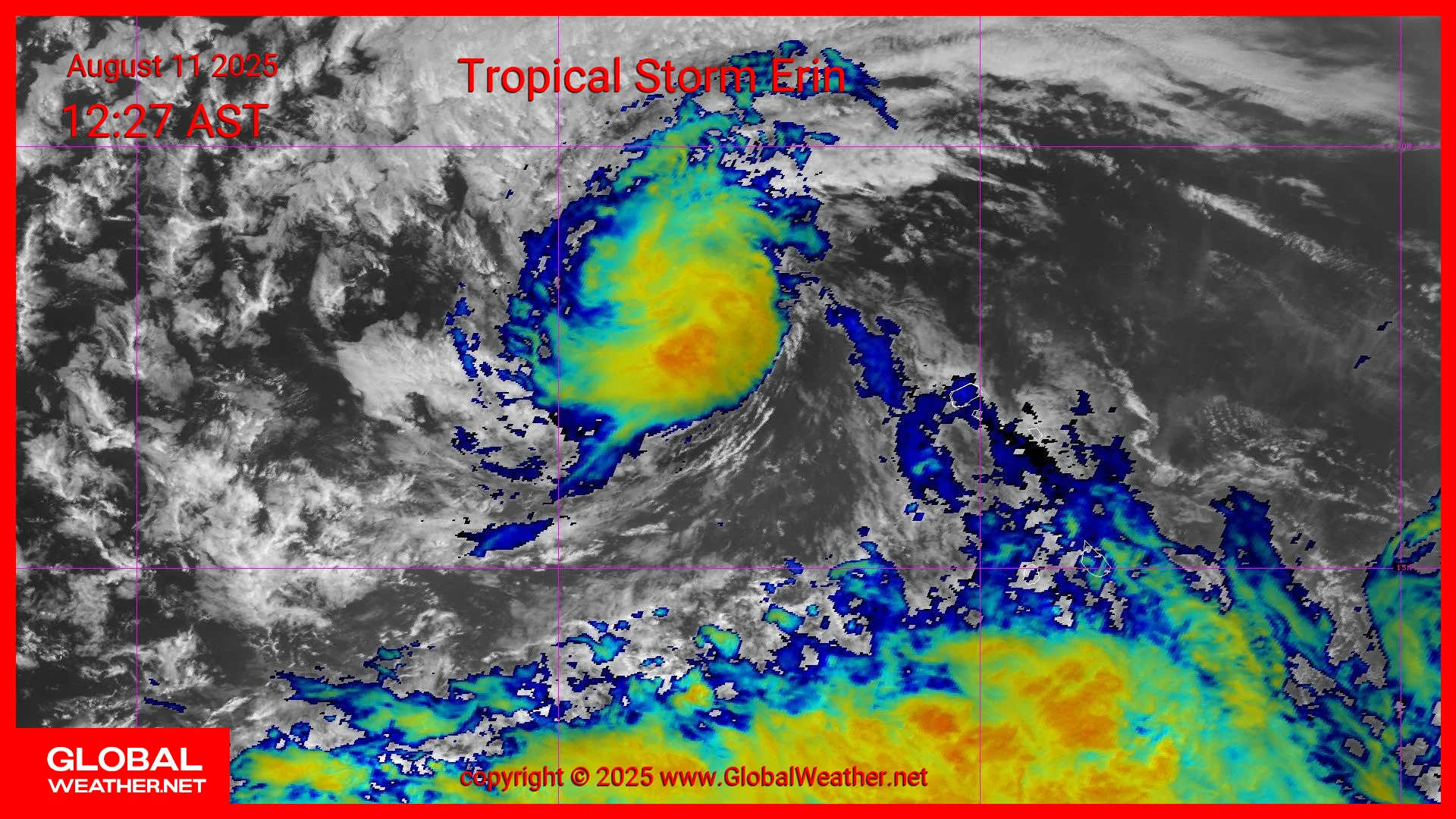
[Insert satellite animation — GOES-East GeoColor and Sandwich products]
🗺️ Impacts and Forecast Outlook
- No land impacts are expected.
- No watches or warnings are currently in effect.
- The storm is forecast to stay north of Bermuda and pose no threat to the U.S. East Coast.
While Dexter will likely remain over water, mariners in the region should continue to monitor NOAA’s High Seas Forecasts for potential rough conditions.
📡 Satellite Analysis
This article is accompanied by:
- A GOES-East GeoColor loop showing cloud structure and moisture bands
- A Sandwich RGB animation revealing convective intensity and deep-core development
Both animations are provided by GlobalWeather.net using data from NOAA and NASA.
🌍 Follow Daily Tropical Updates
Stay tuned to GlobalWeather.net for:
- High-resolution daily satellite animations
- Tropical development forecasts
- Global weather updates and scientific insights
📌 Subscribe and check back daily as we continue covering Dexter and other tropical developments across the Atlantic Basin.